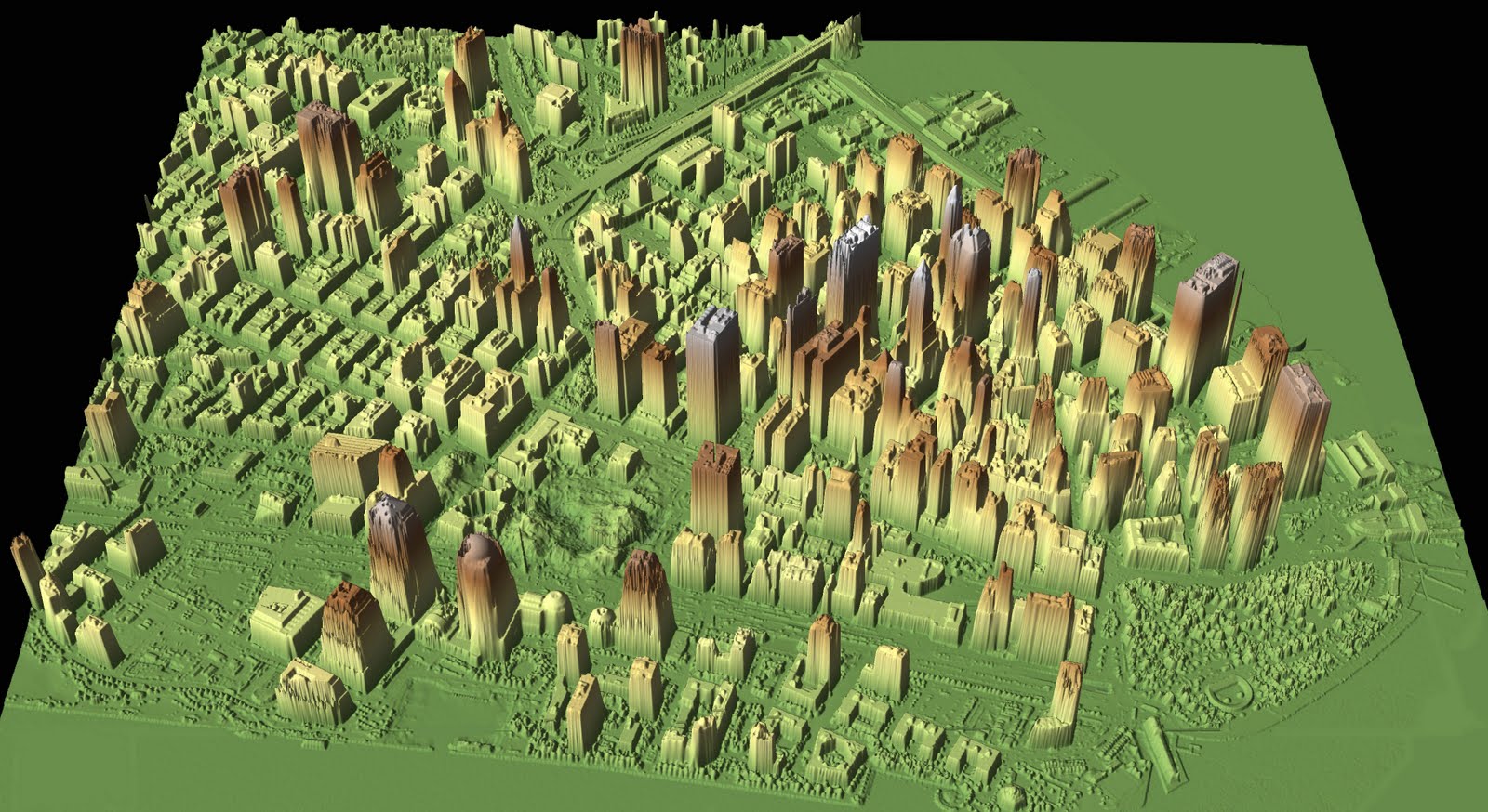
LIDAR is a type of remote sensing system used to collect data and transform it into a three dimensional representation of a topographical area. Attached to aircrafts, mounted lasers scan the area and create a representation of an area. This specific LIDAR picture is three dimensional picture Lower Manhattan after the World Trade Center attacks.
Direct URL: http://www.noaanews.noaa.gov/stories/s798.htm
No comments:
Post a Comment